This ride was so much fun that I think we’re going to try to make it an annual type event. We did have to do a little planning and stash a vehicle midway with gas/lunch/water, etc. See my last post for those details.
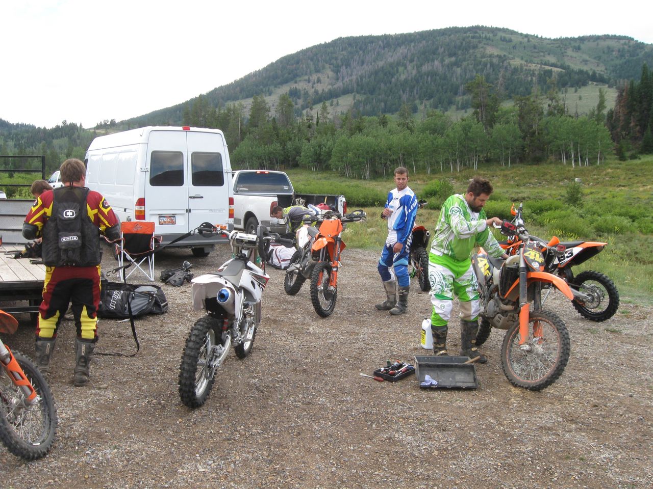
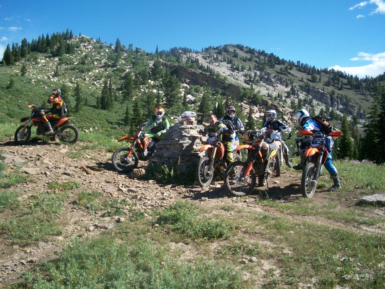
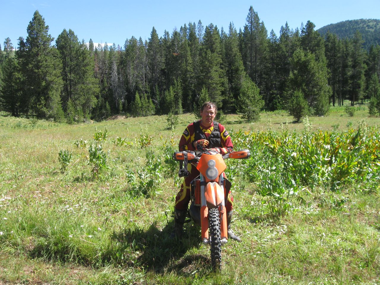
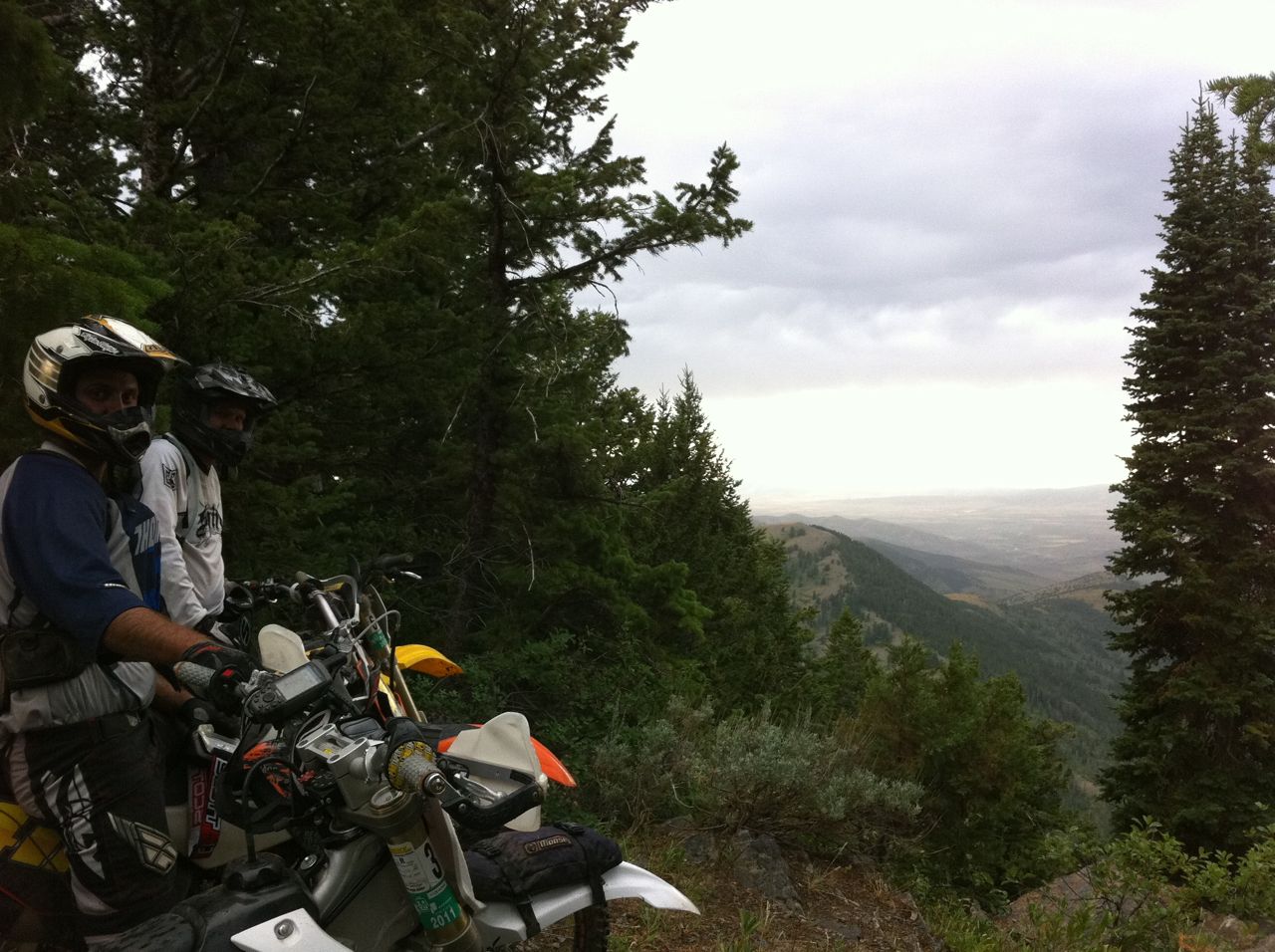
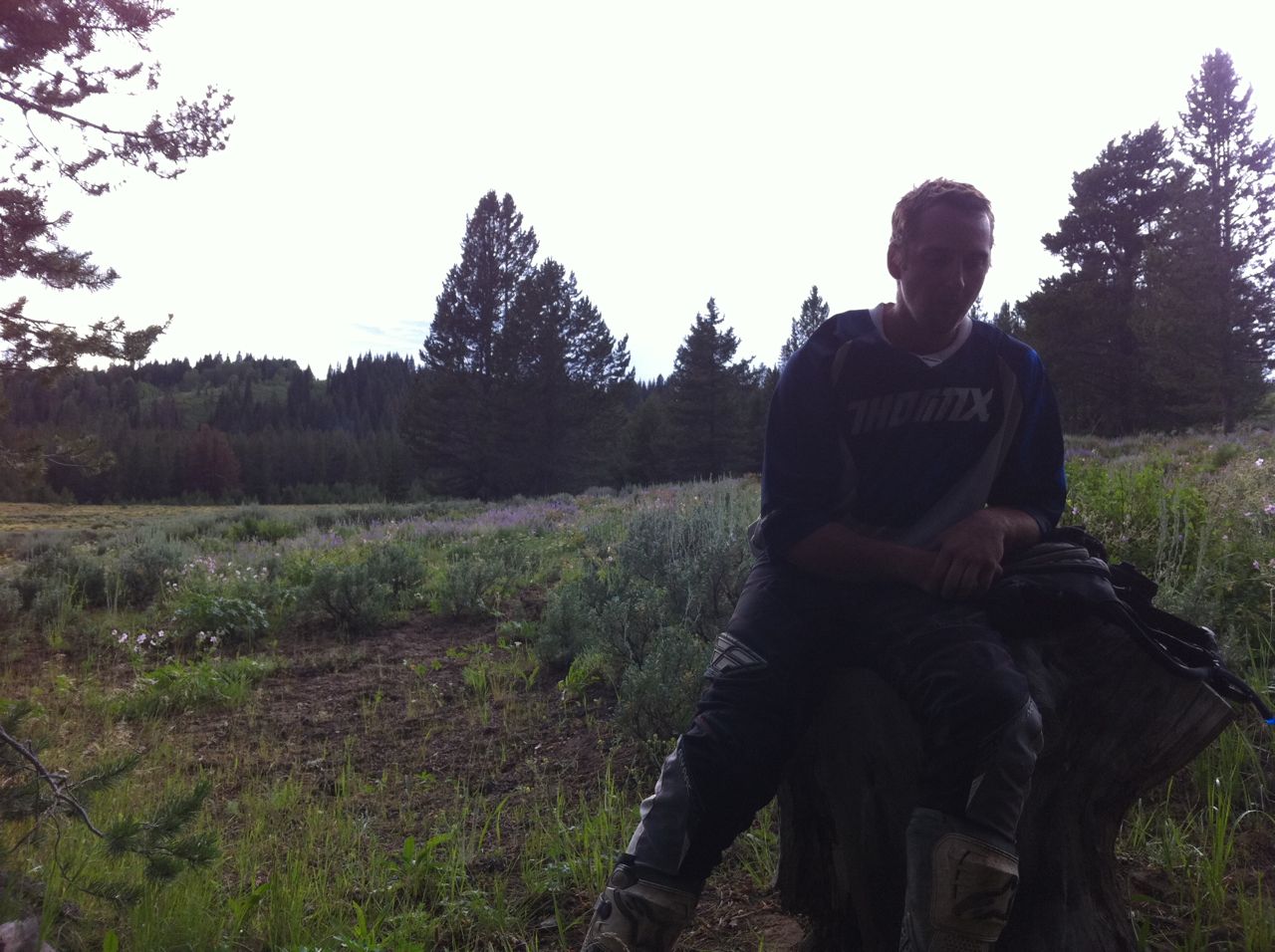
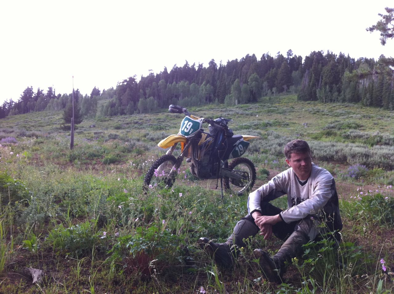
Crew: Chaz, Garrett, Rich, Brandon, Dane, Brock and me.
Notables:
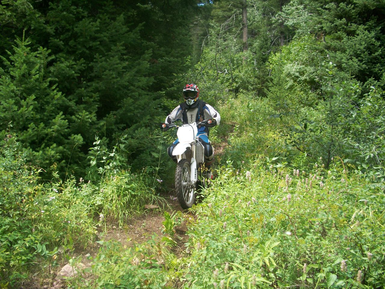
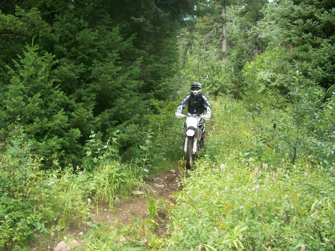
- There is a large tree on Sink Hollow, about 3 miles in. I got hung up on it and about blew myself out physically heaving my bike over, all I could think of was that this was not the right way to start out a 130+ mile ride! Brock also had a mishap in the first couple of miles when he smacked a tree and busted open his right knuckles, he’s “the man” though and put some bandaids on and kept going!
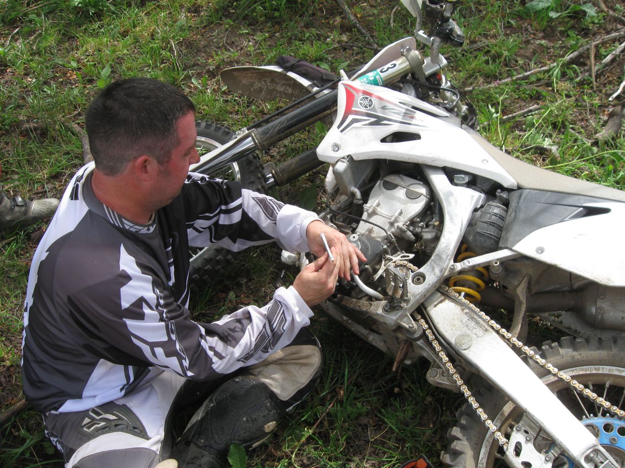
- We didn’t have a single flat! Good thing for tech inspection and going with guys who are prepared, we had plenty of tools and know-how to handle most anything I think. This was especially important when I got crossed-up in the rocks and ended up putting a hole in my case cover on the stator side, I didn’t notice for a couple of miles and lost all of my oil. Did I mention that we were about the farthest point away from the beginning, 77 miles into the ride? Anyway, I pulled the case cover off, cleaned it up and used “quick steel” to repair it from inside and out. Then all the guys pitched in and donated fluid from their bikes to put a little oil-cocktail back into mine so I could get out… thanks again guys!
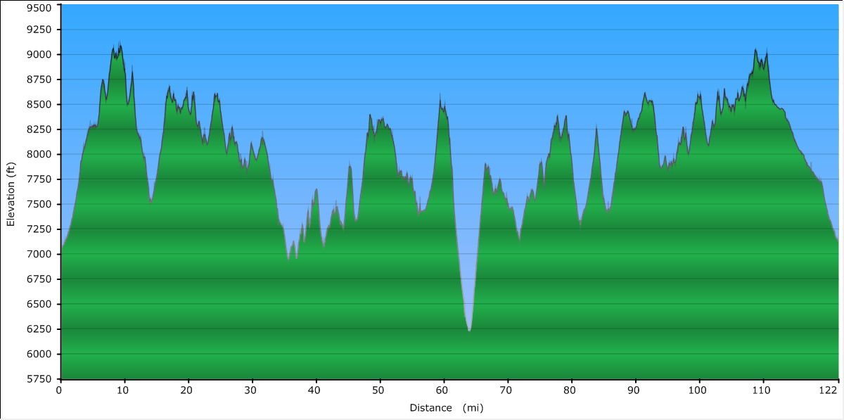
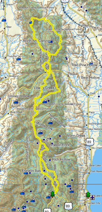
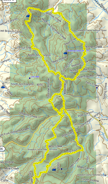
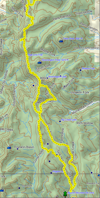
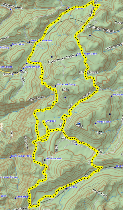
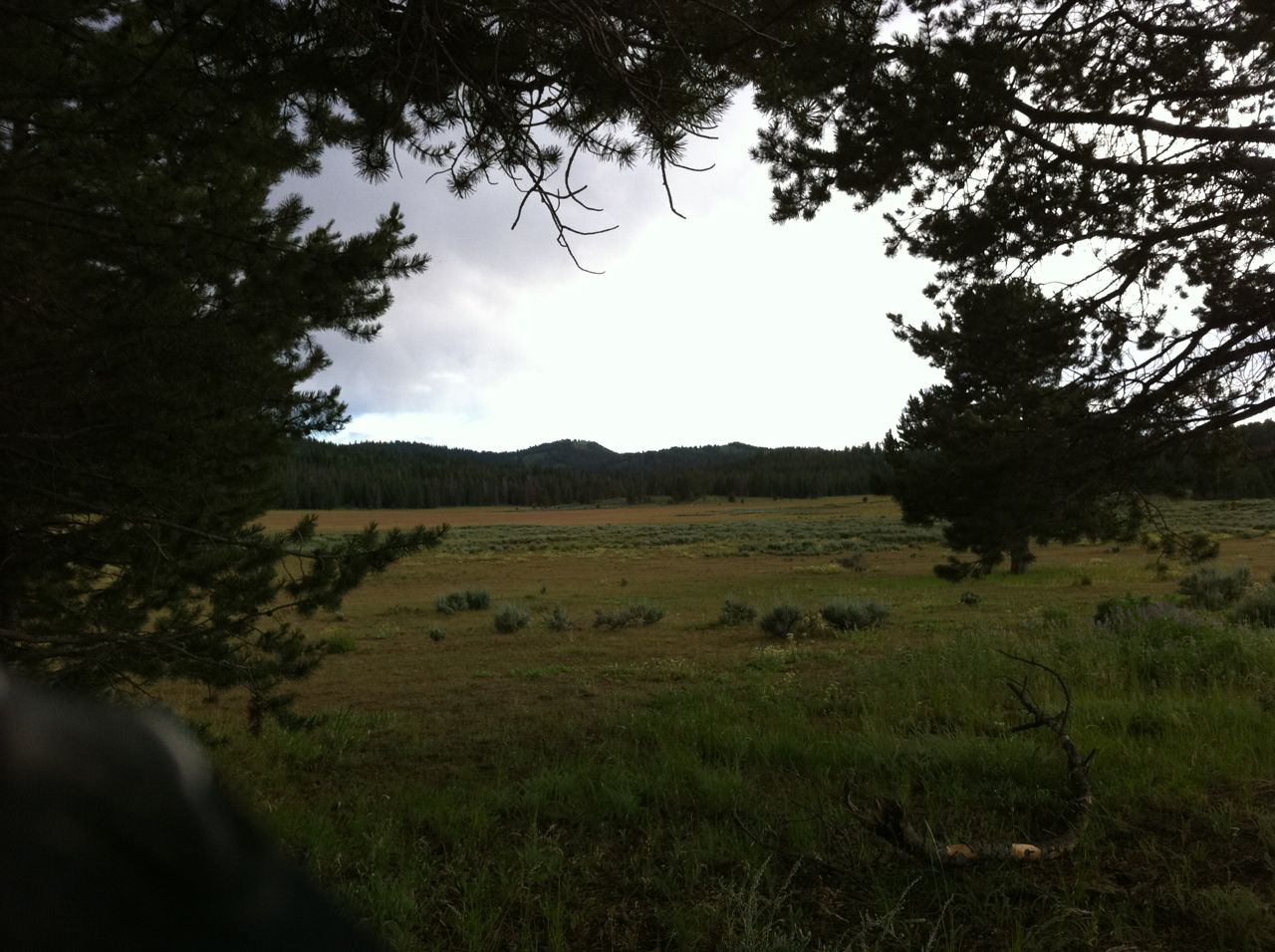
Anyway, the gist of the ride is this: start at the parking lot by the Beaver Mountain turnoff -> ride up sink hollow -> hit the highline at Gibson-Egan Basin -> we threw in Snowslide and up St. Charles for a little more heavenly singletrack -> get back on the highline and make your way up to the Copenhagen parking lot west of Emigration campground. We were at 44 miles or so when we stopped for lunch and to gas up.
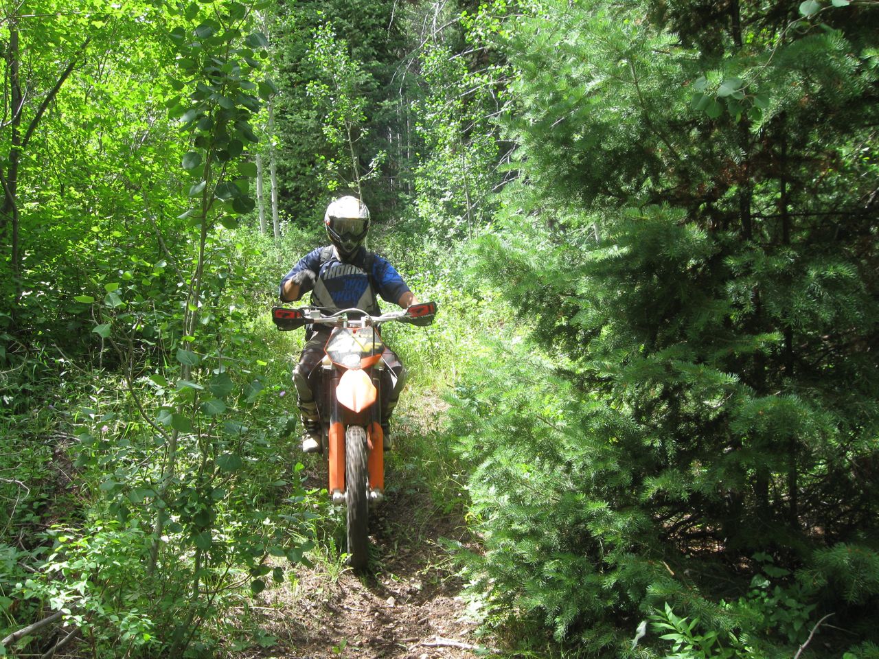
Next, we head North from Emigration campground to make our way back up to the higline, stay up there until you can look down into Soda Springs, ID. I’d noticed a couple of singletrack trails on the map, but had never noticed where they cutoff the highline before, so this time we kept our eyes out and found an awesome little slice of singletrack called Wilson trail (#348 on the map) I think. We then proceed to take the 332 trail and a dirt road for a few miles to take us over to 308 trail so we could catch the little singletrack labeled 117 back over to finish the northern loop -> Rich then knew of another ATV trail that dropped us right back into the parking lot where the truck was parked. The northern loop ended up being about 50 miles. At the truck, we drank another cold gatorade, ate a couple of candy bars, and poured in the rest of our gas.
The ride back was pretty straight forward -> ride the highline all the way back to Danish pass, where most of us were more than content to take the dirt road the last 10 miles… Wally wanted to come back around Paris peak and up snowslide I think, but I’m pretty sure I would have died. Also, I had no intention of going another round with that stupid tree on Sink Hollow…
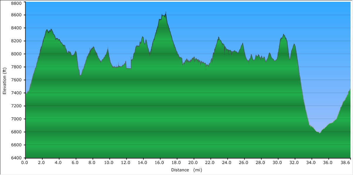
Summary: This was, by far, my longest ride in one day with only around 17-18 miles of the entire ride that wasn’t either ATV or Singletrack. From start to end was almost 11 hours, we were on the trail a little before 9am and back to the beginning right about 7:40pm. Total milage was around 132 miles*.
*Mileage trivia – GPS vs. Odometers – so, both Brandon and Rich’s KTMs were showing 10 miles more than my GPS on their odometers at the end of this ride. I thought “how can this be?” isn’t GPS supposed to be all this super accurate tech schmeck? Rich and I discussed it a couple of times and thought that maybe elevation had something to do with it… well it turns out that it’s not the elevation that messes with the total, it’s the curves. The GPS plots breadcrumbs along the trail and calculates the distance between the crumbs and if you don’t having it saving the crumbs at a very granular frequency it will “straighten” out your path and you’ll lose mileage over time if your trail is really winding. You’ll also lose granularity with poor reception (like going down snowslide). Supposedly you can “tune” your GPSr to track more frequently to help and I’m going to look into this…
Full photo album: http://picasaweb.google.com/alhill/MotoBeavToSoda