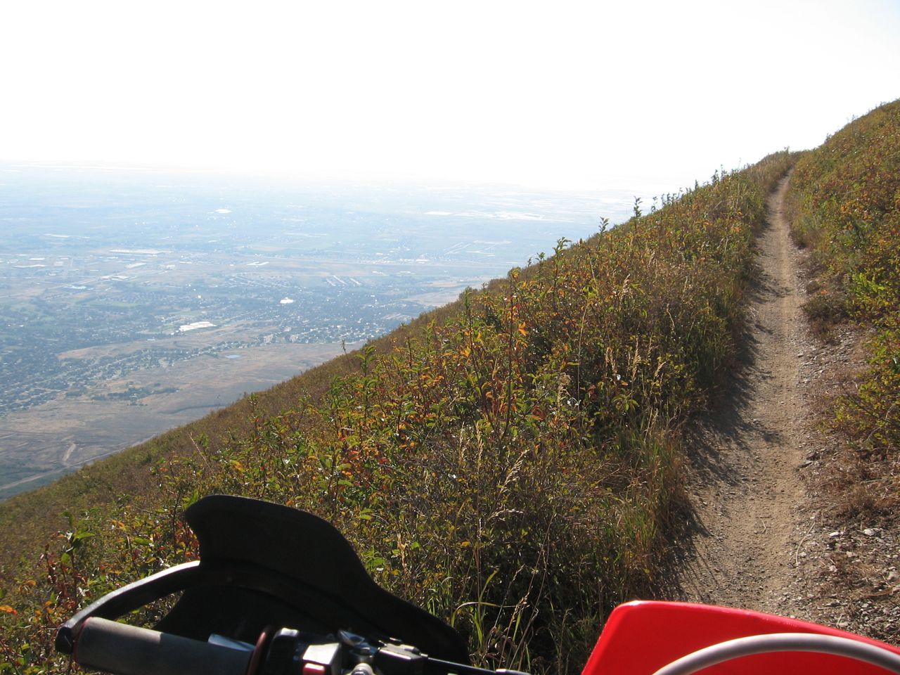
Northern Skyline Trail
Description:
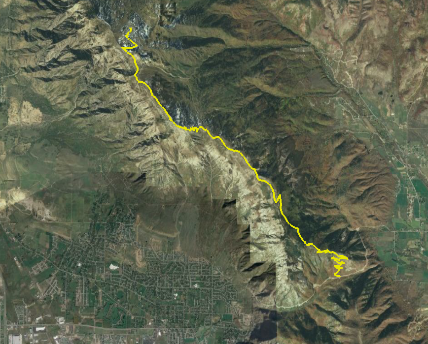
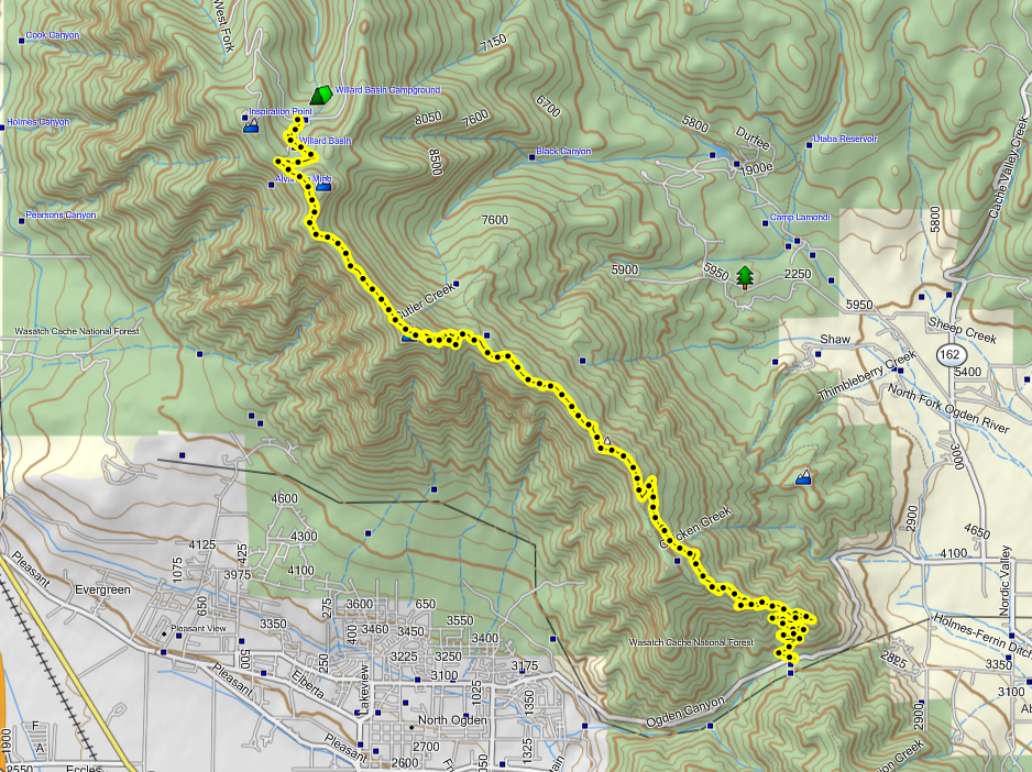
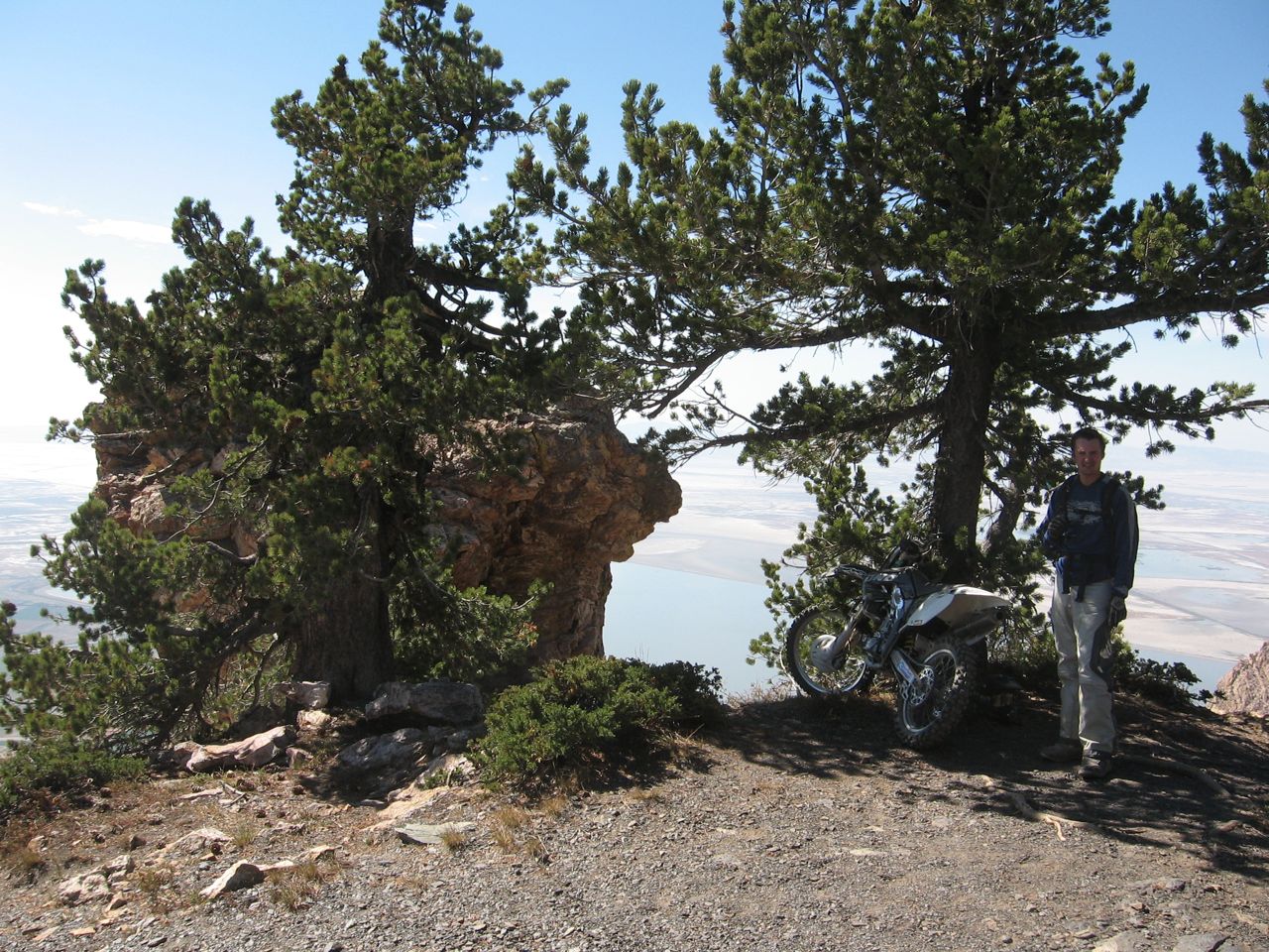
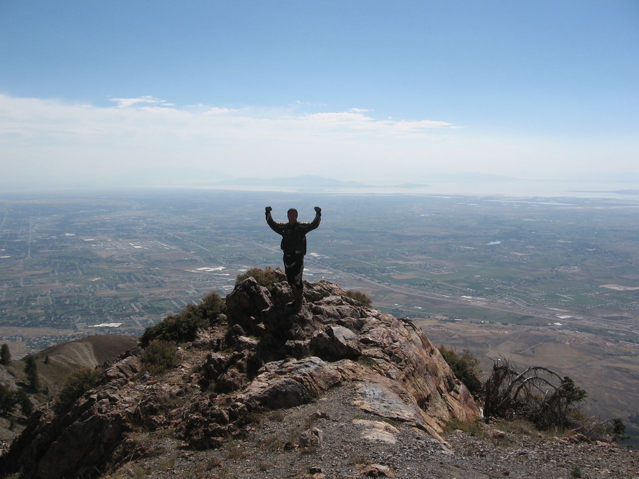
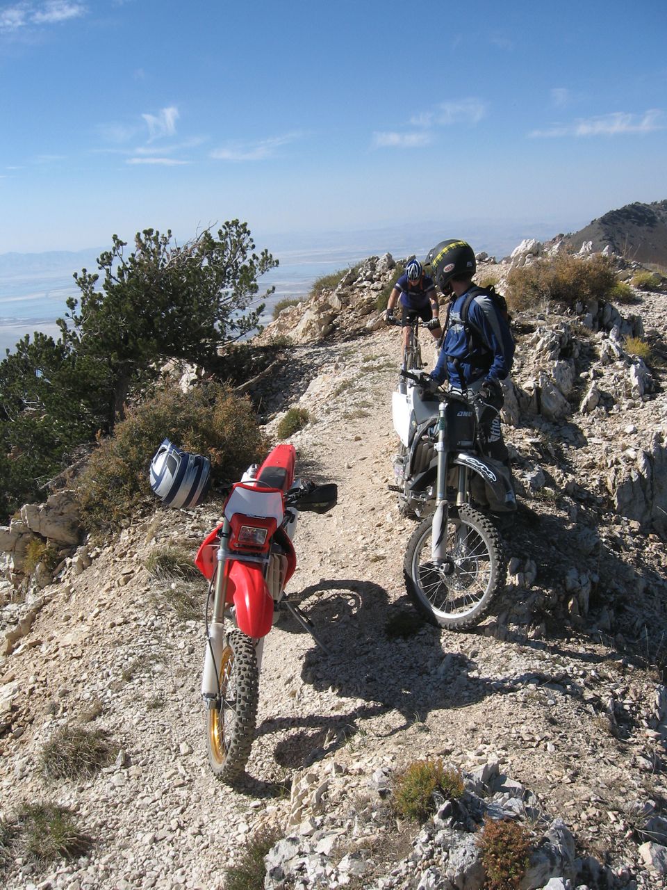
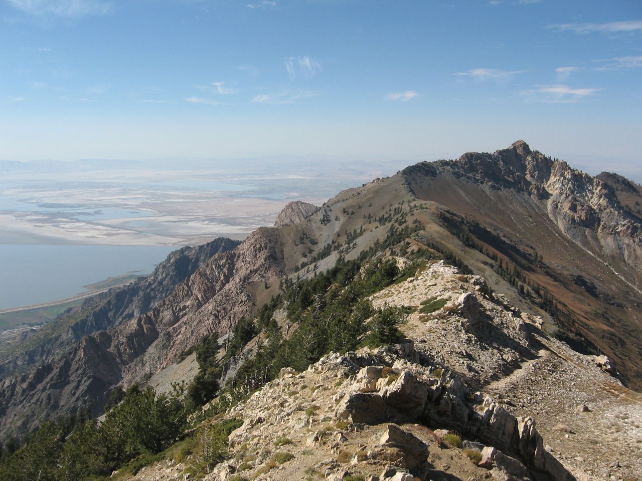
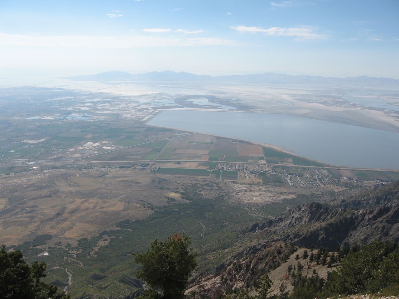
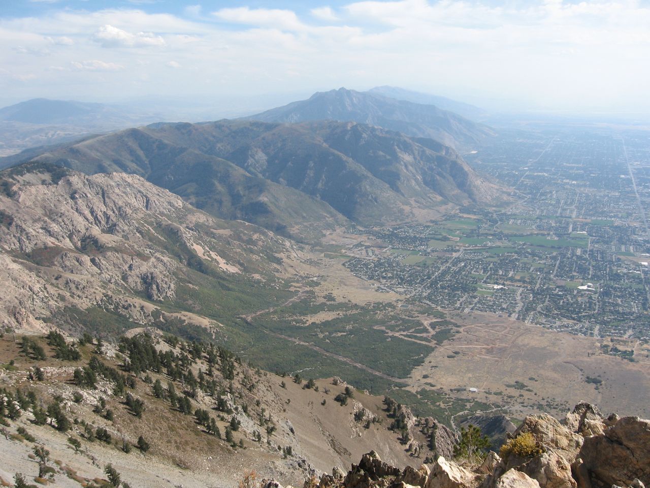
Beautiful views from some of the highest peaks in the area, mountain goats, fun technical riding, loads of fun. There aren’t any real combo/loop options on this one, it’s an out and back. All the other trails you may see on the maps are closed to motorized vehicles. Stay on the trail and be courteous to the hikers, mountain bikers, and horse riders. This is a heavily used trail for a variety of enthusiasts. Hopefully, this single track will stay open so our kids and those in the future can enjoy riding this too…
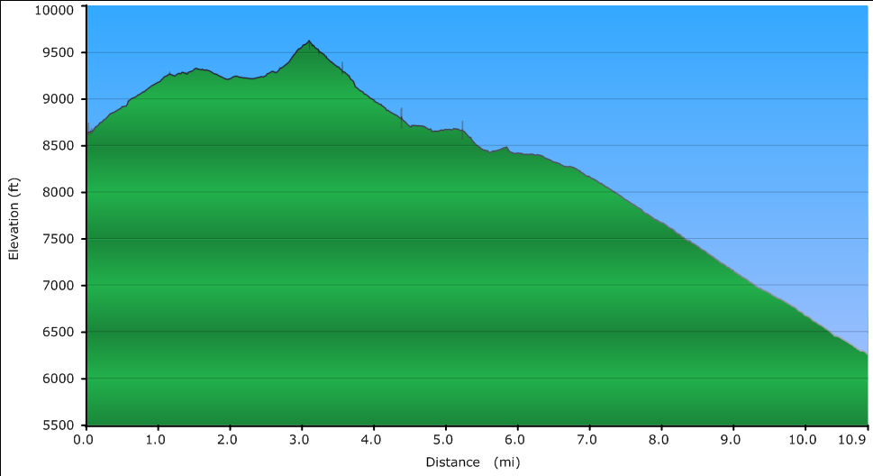
- Length: 10.9 miles one way of just single track, add another 10 miles if you park near Mantua and ride the forest service road to the trailhead.
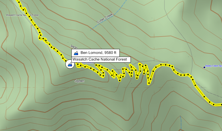
- Difficulty: This trail is pretty tough, you should probably like rocks, climbs, and a lot of switchbacks (there are 17 loose-rocky switchbacks on the climb to Ben Lomond Peak. Both directions are just as difficult. The single track is very narrow on some of the side hills and it would be tragic to slide off on some of those sections.
- US Forest Service Page
Driving directions to trailhead:
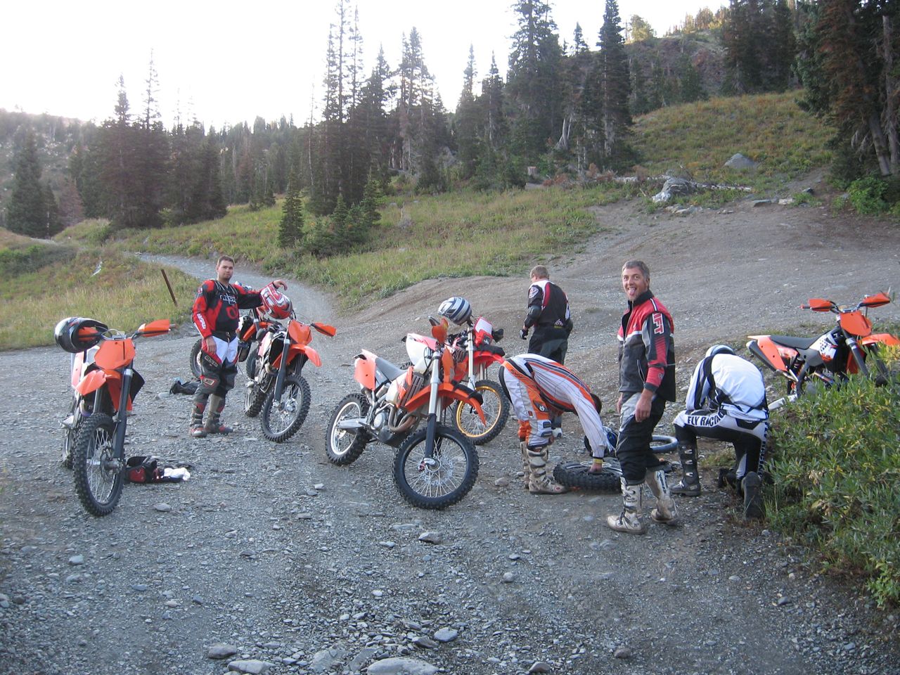
We usually park just outside of Mantua at the parking coordinates below and ride the 10 miles of dirt road to the trailhead. For dirt road riding, it’s about as fun as they come, some berms, rocks, etc… and, it would take forever to drive a truck/trailer up to the trailhead.
GPS Coordinates:
- Parking: N41 28.929 W111 56.541
- North Trailhead: N41 23.487 W111 58.699
- South Trailhead: N41 19.236 W111 53.932
Misc:
Maps and trail pics:
