Card Canyon
Description:
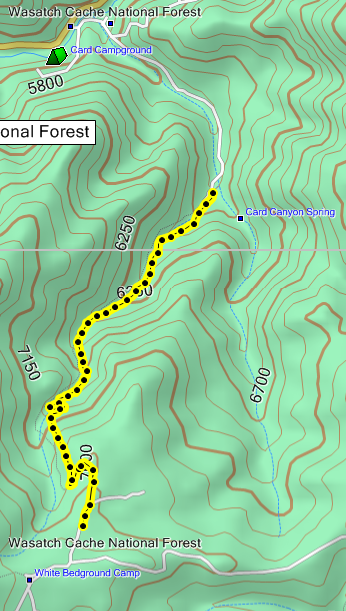
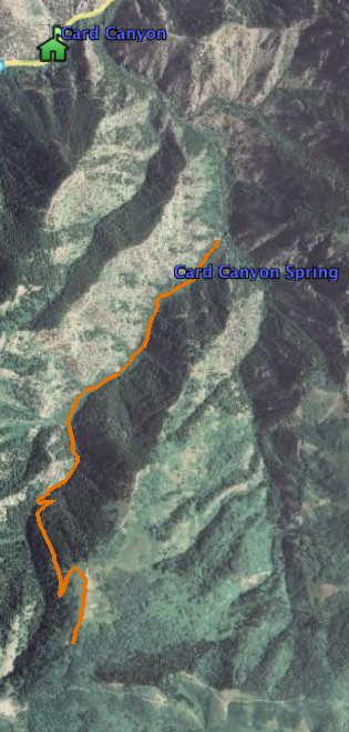
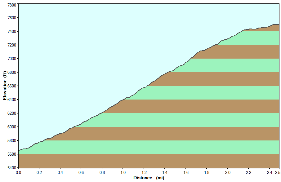
- Length: 2.5 Miles one way
- Difficulty: Steep, one nasty root while climbing, one pretty good rock garden, handful of medium difficulty switchbacks.
Card is one of my favorite trails, the canyon is beautiful and the trail gives you relatively quick access to the top sections of Richards Hollow and Whites Bedground Camp.
Driving Directions to trailhead:
Drive up Logan Canyon 9.5 miles from the intersection of Hwy 89 (400 North) and Main street in Logan. The turnoff comes quick and is on the south side of the road. You will see a guard station on the north side. Cross the bridge and take a left, go about 1/4 mile past a few summer homes and park on the right.
GPS Coordinates:
- Parking Coordinates: N41 45.962 W111 39.860
- Gate: N41 45.667 W111 39.420 there is a gate here because you will be traveling through the Cache Archery Range to get to the trailhead, please be courteous to the people practicing, maintain practical speeds and watch for people hiking around with bows and arrows. There is a single track bypass to the east of the gate about 30 ft or you can dismount and lean to go under the gate.
- Trailhead: N41 45.236 W111 39.272
- End of Card: N41 44.035 W111 39.910
- Turnoff to Card from the top: N41 43.642 W111 40.031
Combo/Loop opportunities:
From this trail the obvious choice is to go down Whites Bedground Camp trail and meet up with Richards hollow, drop down and do the Cart-Seep loop and come back out and down. Another favorite is to go out and do the 016 trail.
Misc:
Maps and trail pics:


